


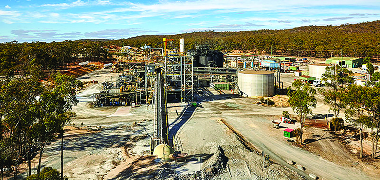
Robbin’s Hill emerges as a second potential mining front to provide feed for the Fosterville mill (above).
Kirkland Lake Gold has announced new high-grade results from ongoing drilling into the Robbin’s Hill resource at its Fosterville mine in Victoria, Australia. The results include high-grade intercepts containing visible gold, according to the company. The reported drill results are from 66 holes totaling 36,428 m that targeted extension and infill of the Robbin’s Hill mineral resources previously reported in December 2018.
Kirkland Lake President and CEO Tony Makuch commented, “For a long time, we’ve been saying that there could be more Fostervilles at Fosterville, and, with today’s results, Robbin’s Hill has clearly emerged as a second potential mining front to provide feed to our Fosterville mill. Based on current drilling, we have already identified a large mineralized system at Robbin’s Hill that we expect will support substantially higher levels of mineral resources and that remains open at depth and along strike.
“Most of our drilling has targeted areas 650 m from surface and higher. The level of visible gold in quartz that we’ve intersected in this area compares favorably to levels seen at the existing Fosterville mine at similar elevations. The presence of visible gold in quartz and the 500-m down-plunge extension of Robbin’s Hill mineralization included in today’s results highlight the potential for future discoveries of high-grade, visible gold-bearing zones at depth similar to Swan and Eagle at Fosterville’s Lower Phoenix system. Work is continuing at Robbin’s Hill, with five surface drill rigs on site and plans currently being finalized for future underground development and drilling.”
In addition to drilling and other exploration techniques, Kirkland Lake is currently performing a 3D seismic survey covering approximately 6 km2 in the north part of the Fosterville mining license. The geophysical survey is the first of its kind to be undertaken in Victoria for gold exploration and will provide a high-resolution 3D dataset to a depth of more than 1 km. The company is optimistic that results of this detailed survey will assist in the definition of structural features and mineralized corridors that will aid the future exploration and development of the Robbin’s Hill area.


