


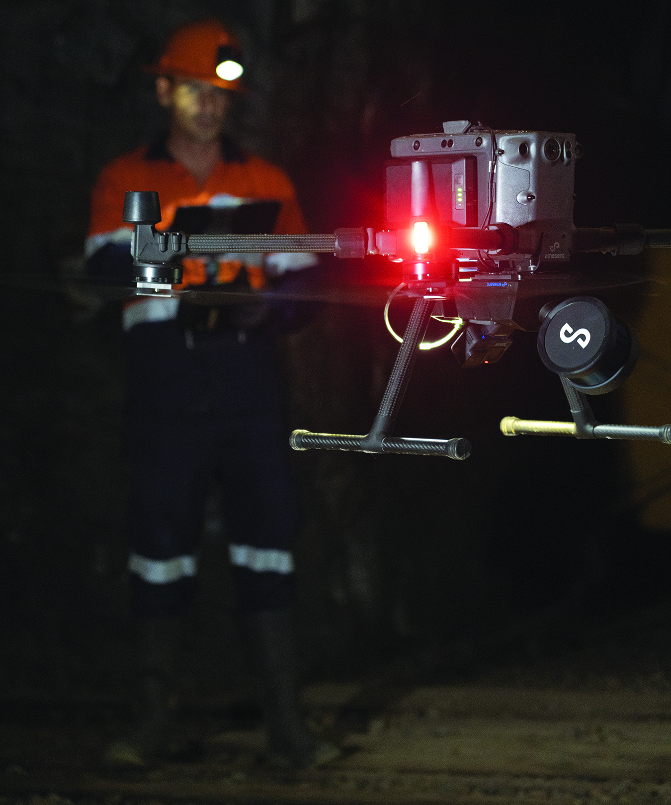
 Emesent unveiled Hovermap ST, the latest version of Hovermap autonomy and payload. The IP65-rated aerial drone-based mapping solution includes Emesent’s new automated ground-control feature.
The combination will could set the standard for survey-grade autonomous LiDAR mapping in challenging environments, Emesent said.
Compared to the predecessor solution, Hovermap ST allows autonomous data capture in harsher environments for a wider range of applications. It removes drift to produce survey-grade, georeferenced point clouds, the company said.
Emesent ground-control targets are placed in the environment and captured in a continuous scan with Hovermap ST. The targets are automatically detected and used to georeference the point cloud to the control points. The process includes automated constellation matching between detected targets and known survey coordinates, eliminating manual work.
The solution features a weather-sealed design, an embedded computer for autonomy and mapping, and an accessory expansion port. The rotating LiDAR produces up to 600,000 points per second.
Hovermap’s Tap-to-Fly autonomy feature enables guided exploration in previously inaccessible areas beyond line of sight and communication range, Emesent said. The omnidirectional Collision Avoidance and smart Return-To-Home functions ensure assets are kept safe and valuable equipment isn’t damaged or lost.


